The Offshore Voyaging Reference Site
Click for TOC or scroll down for details
Articles in this topic:
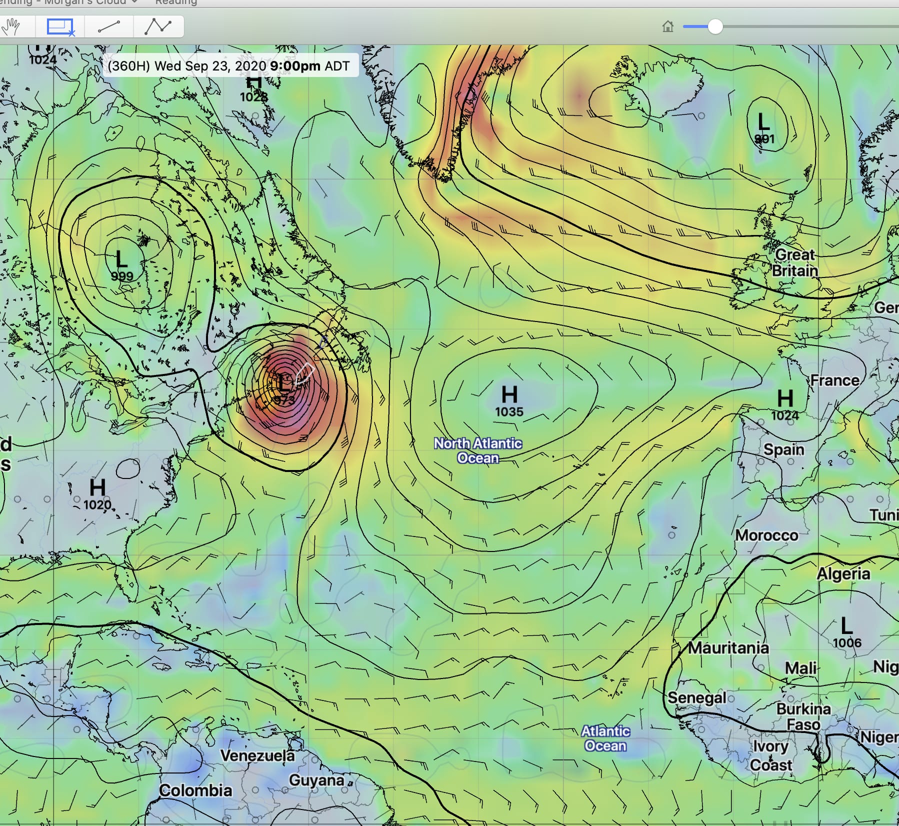
- Never Trust a Hurricane
- Totally Amazing Weather Models
- He Does Weather Routing, Not Miracles
- Severe Weather Probability Forecast Product
- Weather Routing In Action
- Automated Weather Routing—Part 1, The Tools
- GRIB Weather Files—You Gotta See The Rain
- 4 Great Tips From a Professional Meteorologist
- Five Tips For Choosing Weather Information to Believe…And Pay For
- Don’t Abuse Admiral Beaufort
- Tips For Receiving Weather Forecasts
- Tips For Receiving GRIBs
- Tips For Receiving Weather Fax
- The Importance Of The Big Picture
- Hurricane Forecasts, Sausage Or Sizzle
- Hurricane Resources
- Radio Fear
- WeatherFax 2000
- Commander’s Weather
- Liars, Damn Liars, And Sailors
-
Never Trust a Hurricane
27 CommentsReading Time: 3 minutesFreeRead more: Never Trust a HurricaneThere’s no question that hurricane forecasting has become more accurate in recent years, but how much should we trust that?
-
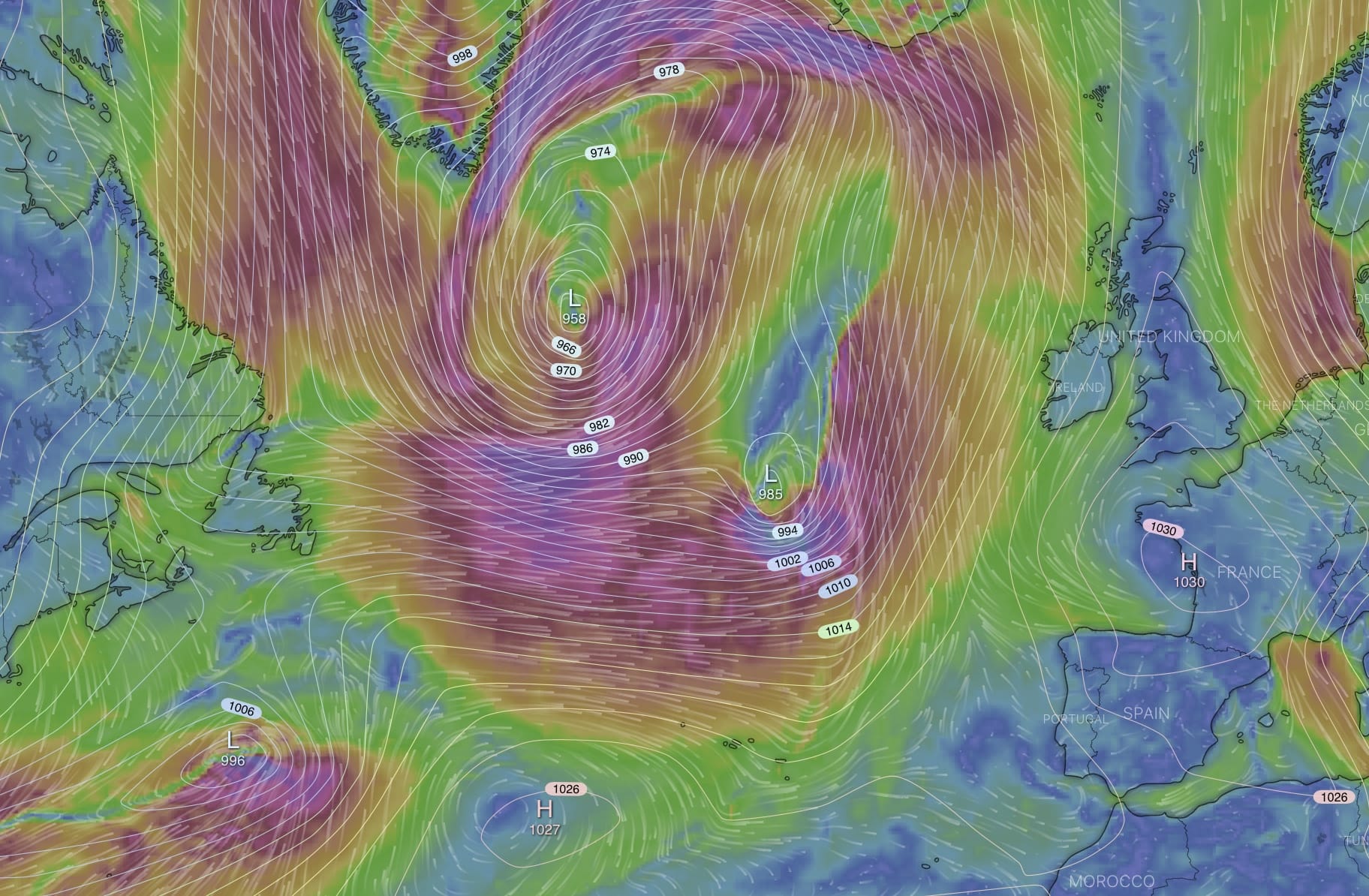
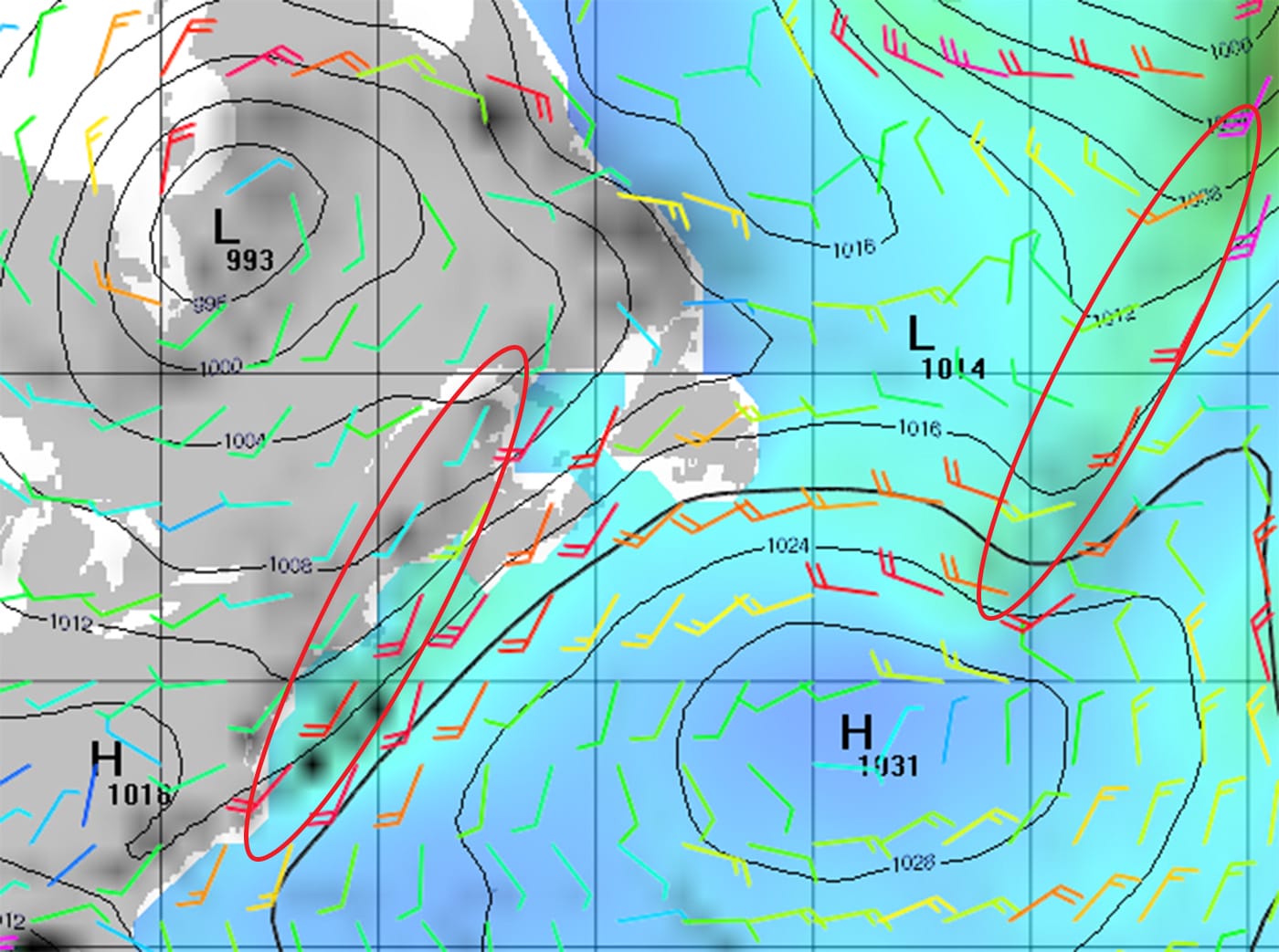
Totally Amazing Weather Models
39 CommentsReading Time: 3 minutesFreeRead more: Totally Amazing Weather ModelsHere is something totally and utterly banoodley, gob smackingly, amazing.
-
He Does Weather Routing, Not Miracles
20 CommentsReading Time: 3 minutesFreeRead more: He Does Weather Routing, Not MiraclesSome really useful information from a really smart and honest weather router, and then some tips on the quickest way to learn about weather.
-
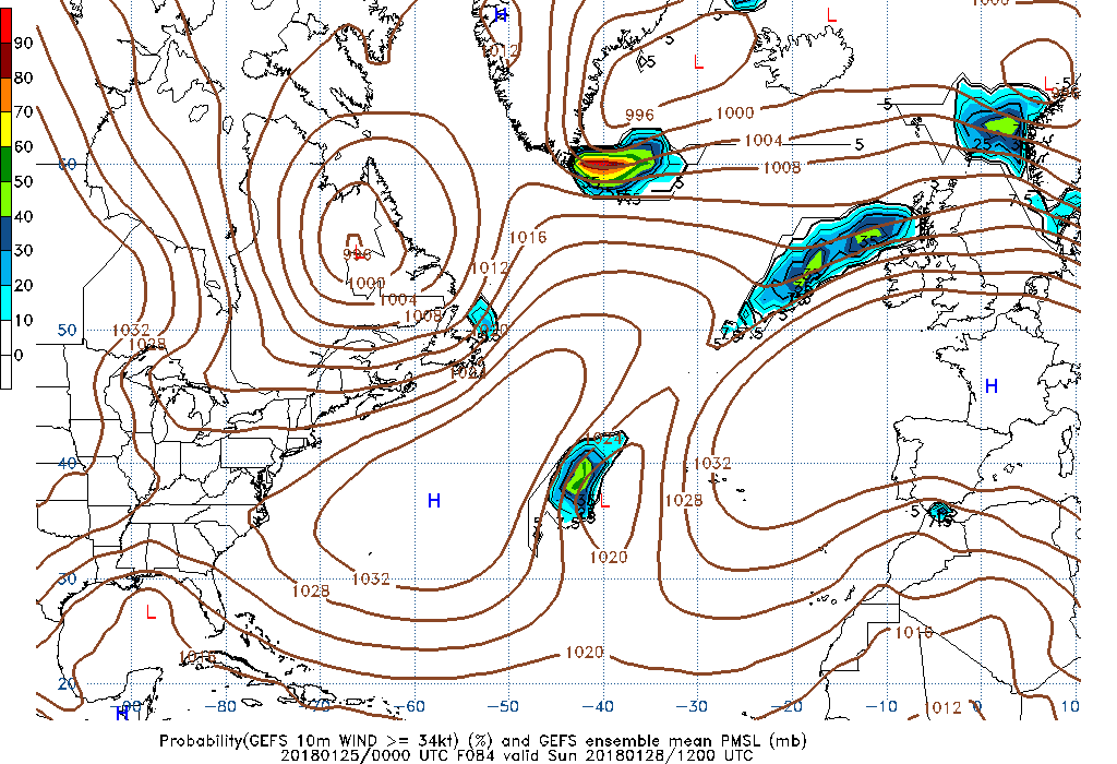
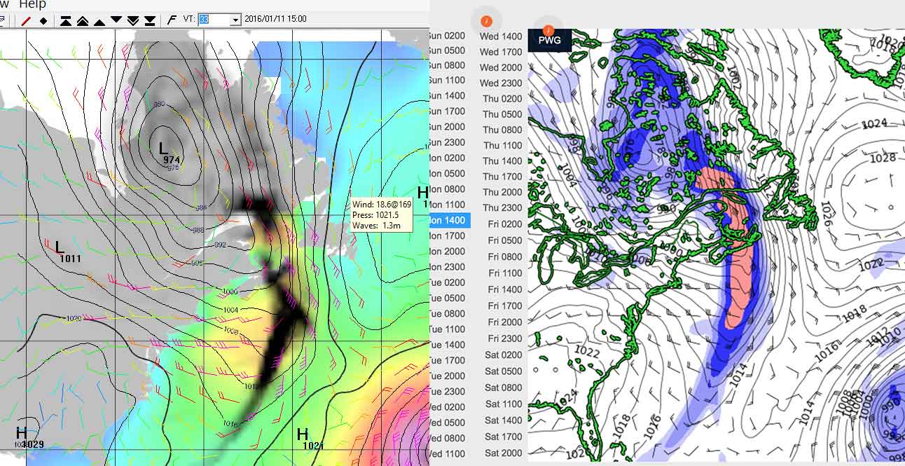
Severe Weather Probability Forecast Product
37 CommentsReading Time: 3 minutesMembersRead more: Severe Weather Probability Forecast ProductJohn writes about a new weather forecast product that just might be the most significant weather advance for offshore voyagers since the GRIB file.
-
Weather Routing In Action
16 CommentsReading Time: 8 minutesMembersRead more: Weather Routing In ActionAndy shares how he used his understanding of the weather and strategic route planning, together with high-tech tools, during his recent Atlantic crossing, to make a faster and better passage than just sticking with the normal route would have.
-
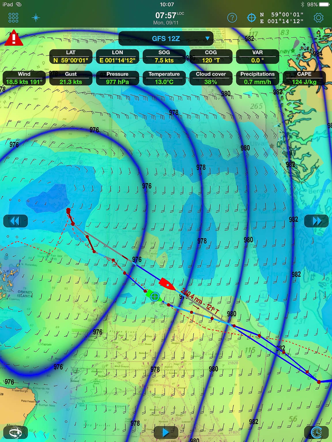
Automated Weather Routing—Part 1, The Tools
40 CommentsReading Time: 10 minutesMembersRead more: Automated Weather Routing—Part 1, The ToolsAndy takes a deep dive into the world of automated weather routing, integrated with navigation, and all running on an iPad, a very different approach than the one John has detailed earlier in this Online Book. You can decide which works best for your type of cruising.
-
GRIB Weather Files—You Gotta See The Rain
34 CommentsReading Time: 3 minutesFreeRead more: GRIB Weather Files—You Gotta See The RainThere are endless debates on forums about which is the best GRIB viewer, but most miss a key selection criteria. John shares what that is.
-
4 Great Tips From a Professional Meteorologist
53 CommentsReading Time: 4 minutesMembersRead more: 4 Great Tips From a Professional MeteorologistWe got our hands on a real live professional meteorologist, who is also an offshore sailor, and wrung 4 great tips out of him that will make your voyages both safer and more comfortable.
-
Five Tips For Choosing Weather Information to Believe…And Pay For
58 CommentsReading Time: 6 minutesMembersRead more: Five Tips For Choosing Weather Information to Believe…And Pay ForThere’s a lot of great weather information out there these days…and a lot of hype too. Here are some tips that will help you tell the difference and decide what’s worth spending your money on.
-
Don’t Abuse Admiral Beaufort
11 CommentsReading Time: < 1 minuteFreeRead more: Don’t Abuse Admiral BeaufortI’m seeing gross misuse of the Beaufort scale. Let’s not do this.
-
Tips For Receiving Weather Forecasts
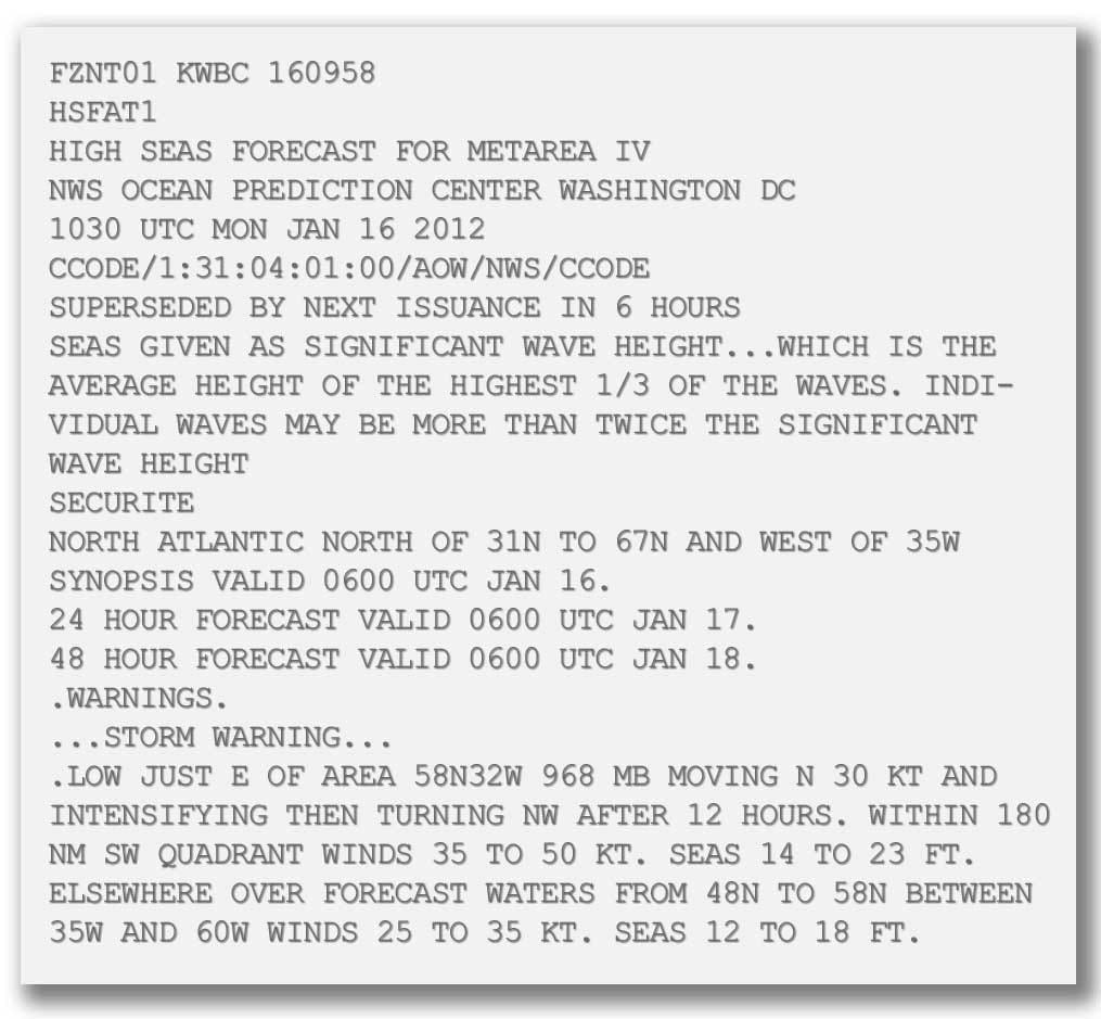
15 CommentsReading Time: 3 minutesMembersRead more: Tips For Receiving Weather ForecastsIn this chapter I’m going to write about how we receive voice (well, not really voice, per se) and text forecasts while at sea and in remote places.
-
Tips For Receiving GRIBs
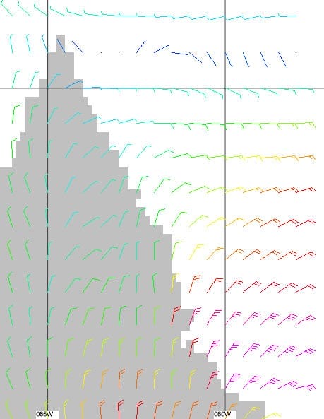
35 CommentsReading Time: 5 minutesMembersRead more: Tips For Receiving GRIBsIn this chapter I’m going to get into the details of how we request and use GRIBs to get the maximum amount of information for the minimum data size and cost, when at sea or in remote areas with no internet.
-
Tips For Receiving Weather Fax
19 CommentsReading Time: 4 minutesMembersRead more: Tips For Receiving Weather FaxStarting with this chapter I’m going to focus on weather reception tools that we use when we are offshore or in remote places where the internet is not available. Let’s start with weatherfax and why it’s still important.
-
The Importance Of The Big Picture
4 CommentsReading Time: 3 minutesMembersRead more: The Importance Of The Big PictureIn this chapter I’m going to discuss a real world example of how we used the tools we have discussed in this book to manage a weather risk while transiting Hudson Strait and the northern coast of Labrador—no place to get caught by bad weather.
-
Hurricane Forecasts, Sausage Or Sizzle
8 CommentsReading Time: 2 minutesFreeRead more: Hurricane Forecasts, Sausage Or SizzleIt is now pretty likely that Hurricane Earl will give us high winds here on the south-western shore of Nova Scotia. However, a deviation of just 50 miles either side of the forecast track will likely make the difference between us experiencing gale force versus hurricane force winds. And that in turn will determine whether […]
-
Hurricane Resources
3 CommentsReading Time: 3 minutesFreeRead more: Hurricane ResourcesI have lived most of my life in the direct line of fire of Atlantic hurricanes, first in Bermuda, and now on the southern shore of Nova Scotia. But no matter how familiar I am with the damned things, or perhaps because of that familiarity, I always have a slight feeling of constant tension at […]
-
Radio Fear
0 CommentsReading Time: 2 minutesFreeRead more: Radio FearMorgan’s Cloud was anchored in a snug cove in Maine. We had tied everything down on deck and stripped the headsails from the furlers. Hurricane Kyle was bearing down on the coast with forecast 60 knot winds, gusting higher; no worse than we have ridden out many times before in high latitude anchorages, so we […]
-
WeatherFax 2000
2 CommentsReading Time: 2 minutesFreeRead more: WeatherFax 2000We are long time users of WeatherFax 2000, from Xaxero Marine Software Engineering Ltd in New Zealand, for the reception of weather faxes on a Windows PC.
-
Commander’s Weather
5 CommentsReading Time: < 1 minuteFree -
Liars, Damn Liars, And Sailors
4 CommentsReading Time: 3 minutesFreeRead more: Liars, Damn Liars, And SailorsMy friend Kevin is tough. Tough enough that I have heard him called Kevlar. A veteran of tens of thousands of ocean miles, both racing and cruising, Kevin has seen some seriously nasty weather.

