Navigation
Child Topics:
Click for TOC or scroll down for details
Articles in this topic:
- Don’t Alter Course to Port
- Eyes in the Sky: Mast Cams & Drones
- Our Navigation System
- A New Best Windows Computer For Navigation
- The Best Windows Computer For Navigation
- The Secret Life Of Your GPS
- Q&A Which Sextant To Buy…If At All
- You Still Need an Accurate Compass
- Save Our Lighthouses
- Three Navigation Mistakes That Can Wreck You
- It Ain’t Necessarily So
- Q&A: Custom Log Book
-
Don’t Alter Course to Port
24 CommentsReading Time: 2 minutesFree Read more: Don’t Alter Course to Port
John, inspired by a near miss, shares vital tips to avoid a collision in fog.
-
Eyes in the Sky: Mast Cams & Drones
25 CommentsReading Time: 4 minutesFree Read more: Eyes in the Sky: Mast Cams & Drones
Drones and mast cameras, can they be useful for navigation? Matt says yes. We also want to hear about your experiences with this intriguing technology.
-
Our Navigation System
66 CommentsReading Time: 2 minutesFree Read more: Our Navigation System
We have written a lot about navigation systems. Here’s what we use on Morgan’s Cloud, and why.
-
A New Best Windows Computer For Navigation
79 CommentsReading Time: 2 minutesFree Read more: A New Best Windows Computer For Navigation
John’s recommendation for the best computer to run Windows-based navigation software may surprise you, but it makes sense.
-
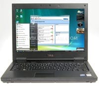
The Best Windows Computer For Navigation
126 CommentsReading Time: 9 minutesFree Read more: The Best Windows Computer For Navigation
So what’s the best computer to run navigation software on? John, who has spent most of his working life around computers, takes a deep dive into the issues and then reveals his choice.
-
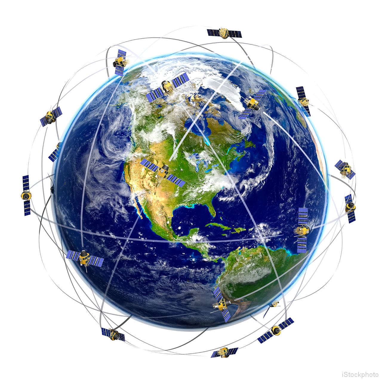
The Secret Life Of Your GPS
54 CommentsReading Time: 9 minutesMembers Read more: The Secret Life Of Your GPS
Pretty much all of us rely on GPS, but have you every wondered how the thing actually works? Matt has the answers, and they are fascinating.
-
Q&A Which Sextant To Buy…If At All
55 CommentsReading Time: 3 minutesFree Read more: Q&A Which Sextant To Buy…If At All
John answers a member’s question on what is the best sextant to buy and then looks at whether or not we voyagers even need one at all.
-
You Still Need an Accurate Compass
36 CommentsReading Time: 2 minutesFree Read more: You Still Need an Accurate Compass
What if your plotter dies, or the datum is way out on the chart against the GPS, or you are navigating an intricate passage? These are just a few situations when an accurate compass is vital.
-
Save Our Lighthouses
3 CommentsReading Time: 3 minutesFree Read more: Save Our Lighthouses
I can’t imagine that there are many sailors out there who don’t share John’s and my fascination with lighthouses—walking around them, climbing them, photographing them, reading about what it was like to take care of them—we don’t seem to tire of it. However, in Canada, the USA and the UK, and I’m sure in other […]
-
Three Navigation Mistakes That Can Wreck You
2 CommentsReading Time: 3 minutesMembers Read more: Three Navigation Mistakes That Can Wreck You
Although we are not Luddites bemoaning the take over of electronics and warning of the dire consequence of over reliance on them, we are aware of several dangers in their exclusive use:
-
It Ain’t Necessarily So
0 CommentsReading Time: 3 minutesFree Read more: It Ain’t Necessarily So
In these days of hyper-accurate GPS navigation and deck mounted plotters, it can sometimes seem like navigation has been reduced to no more than a video game.
-
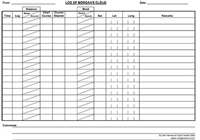
Q&A: Custom Log Book
2 CommentsReading Time: < 1 minuteFree Read more: Q&A: Custom Log Book
Question: I read your article, “Knowing Where You Are“, in January’s Cruising World magazine and was wondering if I could see a copy of your custom log book page.