
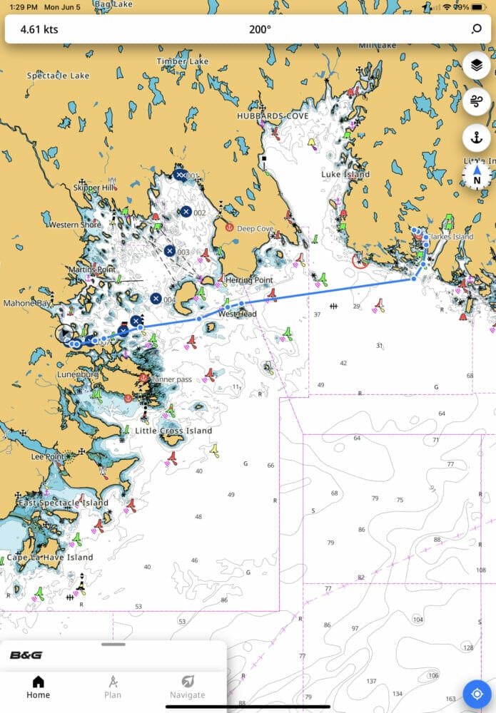
We ended up with a B&G system on our J/109, mainly because most of it was already there when we got the boat.
Given that, I thought it would be a good idea to use the B&G App on our iPad, which we use to supplement the plotter.
What a mistake that was:
- No manual
- Constant hangups
- Clunky synchronization of routes with the plotter
- Terrible and counterintuitive interface
- Dangerous autorouting function
I just canceled my subscription, thankfully before the two-week trial ran out.
Back to TZ iBoat, which is, in my view, the gold standard for tablet navigation software.
Hopefully B&G will get their app sorted out, since I would love to have a tablet app that synchronized routes with the plotter, but B&G have a long, long, long way to go to catch up with TZ iBoat or to even be a safe and functional app, in my view.
Seconded. Appalling app. Have given up trying to make it work.
I totally agree–i could not even enter my “home port”. I am a pretty geeky guy and i was beginning to wonder if i was the only person who could not get it to work.
Utterly terrible App
Hi Peter,
I too am geeky, but even so started off thinking I must be doing something stupid since nothing worked. This is not even Alpha test software, let alone beta. B&G should be ashamed for letting it see the light of day.
TZ iBoat is a great app.
Join any b&g online group and you will find this is a very common complaint that gets everyone frustrated. Very poor and frankly dangerous that b&g can’t get it sorted. Appears worst for non Apple users.
Hi John,
Yikes, I was using an iPad and it was terrible so I can’t even imagine how bad that is if it’s worse on Android.
TZ iBoat may have a nice user interface, but as an inland / river cruiser, I’m amazed at how often TZ shows tan-shaded “you’re on land, no chart data here” in places where Navionics has surveyor-quality soundings and the individual rocks are charted to within 10–20 feet of their true position. The Navionics subscription also ports seamlessly between my two iPads and my Android phone.
What is B&G thinking, releasing their own app that isn’t even ready for closed beta testing yet?
Hi Matt,
Good point, I too have noticed that the chart coverage is not as complete on TZiBoat as Navionics. As to what B&G is thinking, ask the powers that be at Brunswick Corp.
Hi John,
It was wonderful to read your favorable commentary on TZ. I switched from OCN to TZN Windows 2 years ago and have been delighted. I have been using PC navigation software since 2004 when I bought my first sailboat (31′) because I could not afford/justify the expense of a plotter, so I installed Maptech on my laptop, connected a Garmin GPS handheld and never looked back. Yet, nobody I know does this.
Now we are getting our 45′ sailboat ready for offshore. In addition to TZN running on a dedicated marine grade PC, we have a Garmin chart plotter with radar overlay, but always use TZN for planning and navigation. Plotting new routes with a mouse is simple. TZN’s cloud backup is a great asset, with all routes plotted at home during winter being saved to the on-board PC when we power it up and connect to the internet.
For coastal sailing, we have not yet invested in offshore coms, and are watching the Starlink debacle from the sidelines. Being able to download GFS directly into TZ has been a great benefit, for planning using home internet, and aboard, and TZ’s Iridium interface will help with our likely addition of an Iridium Exec.
We want to sail the Canadian Maritimes in 2025 and need to purchase charts. TZ offer two different sets – Raster and vector. I am agnostic on Raster vs Vector and use both. In your local waters are both sets comparable or does one have a distinct advantage? My apology for being impertinent and asking for a recommendation?
AAC has been an invaluable resource over the years with boat prep for coastal cruising adventures and now as we prep for offshore sailing. Thank you for continuing this service for the sailing community.